Description
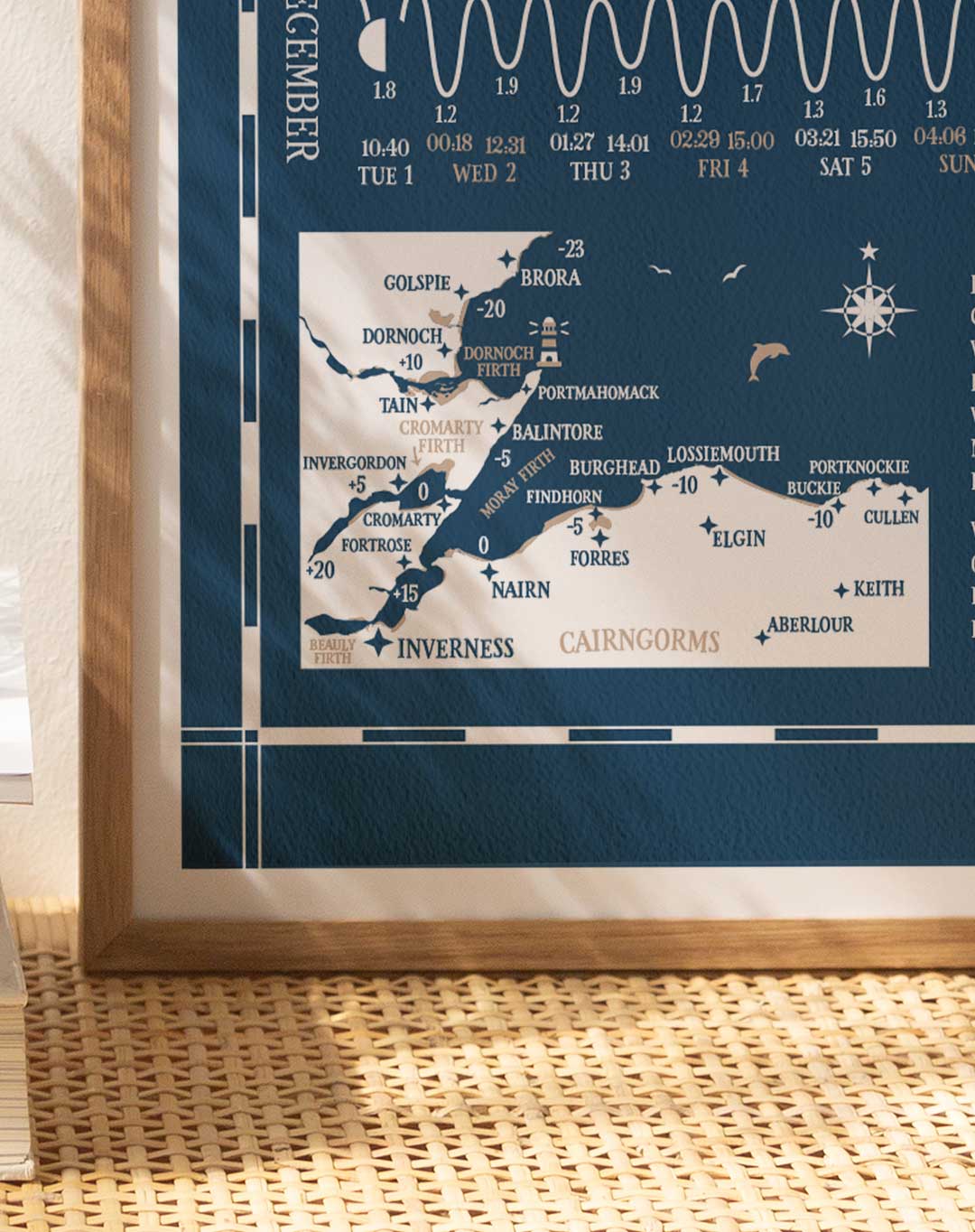
Tide Times Hydrographical Chart for Moray Firth, Inverness, Nairn, Brora, Cromarty, Dornoch, Lossiemouth



Original price was: £19.50.£13.00Current price is: £13.00.
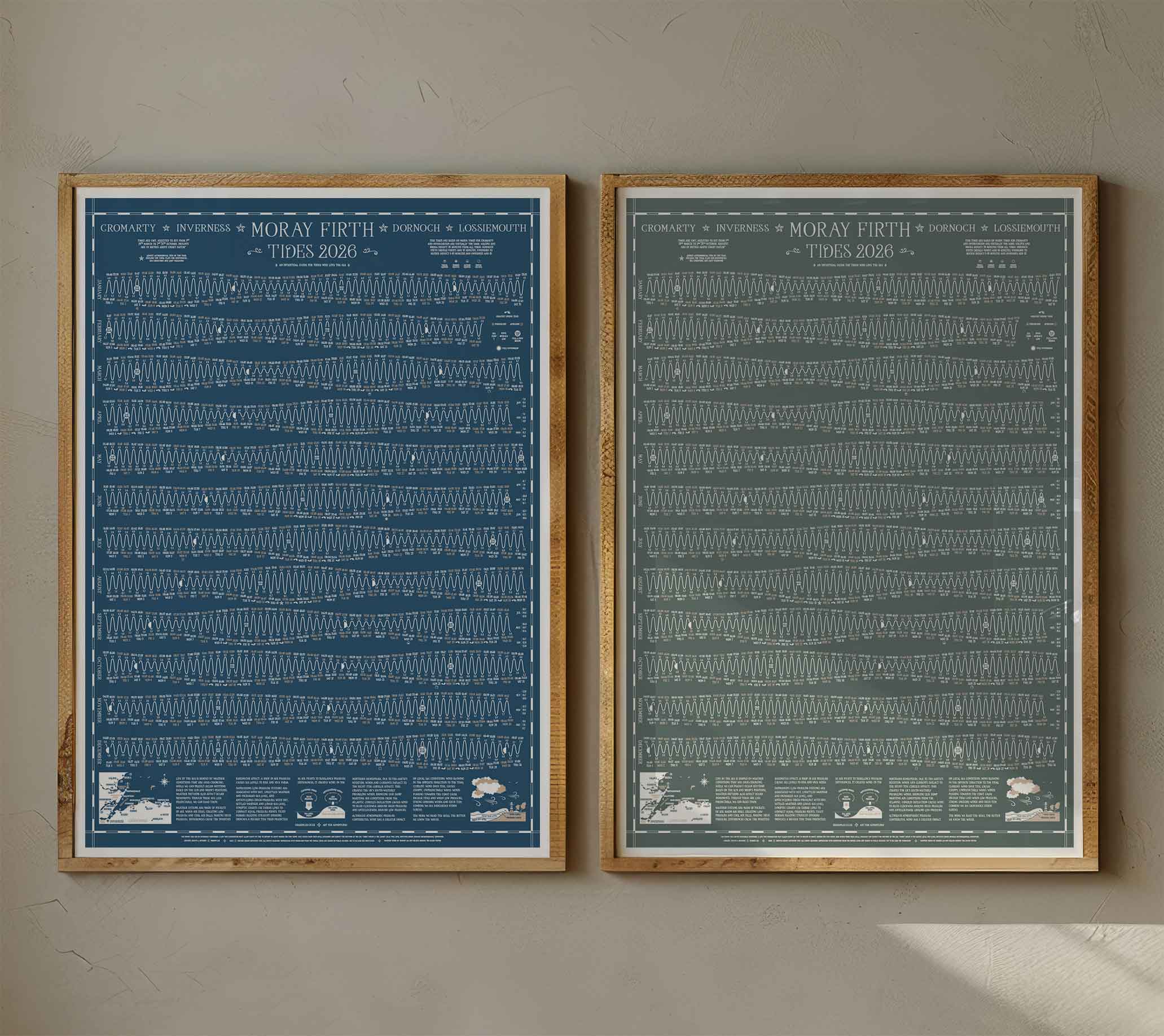
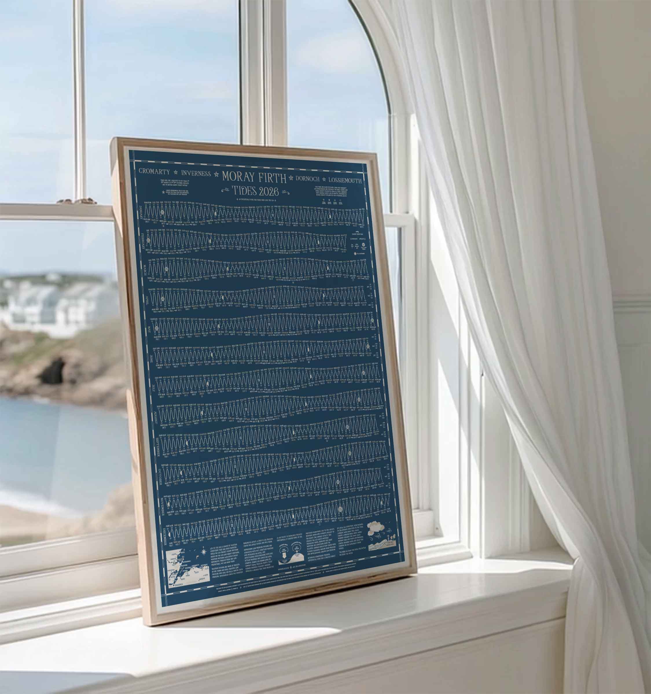
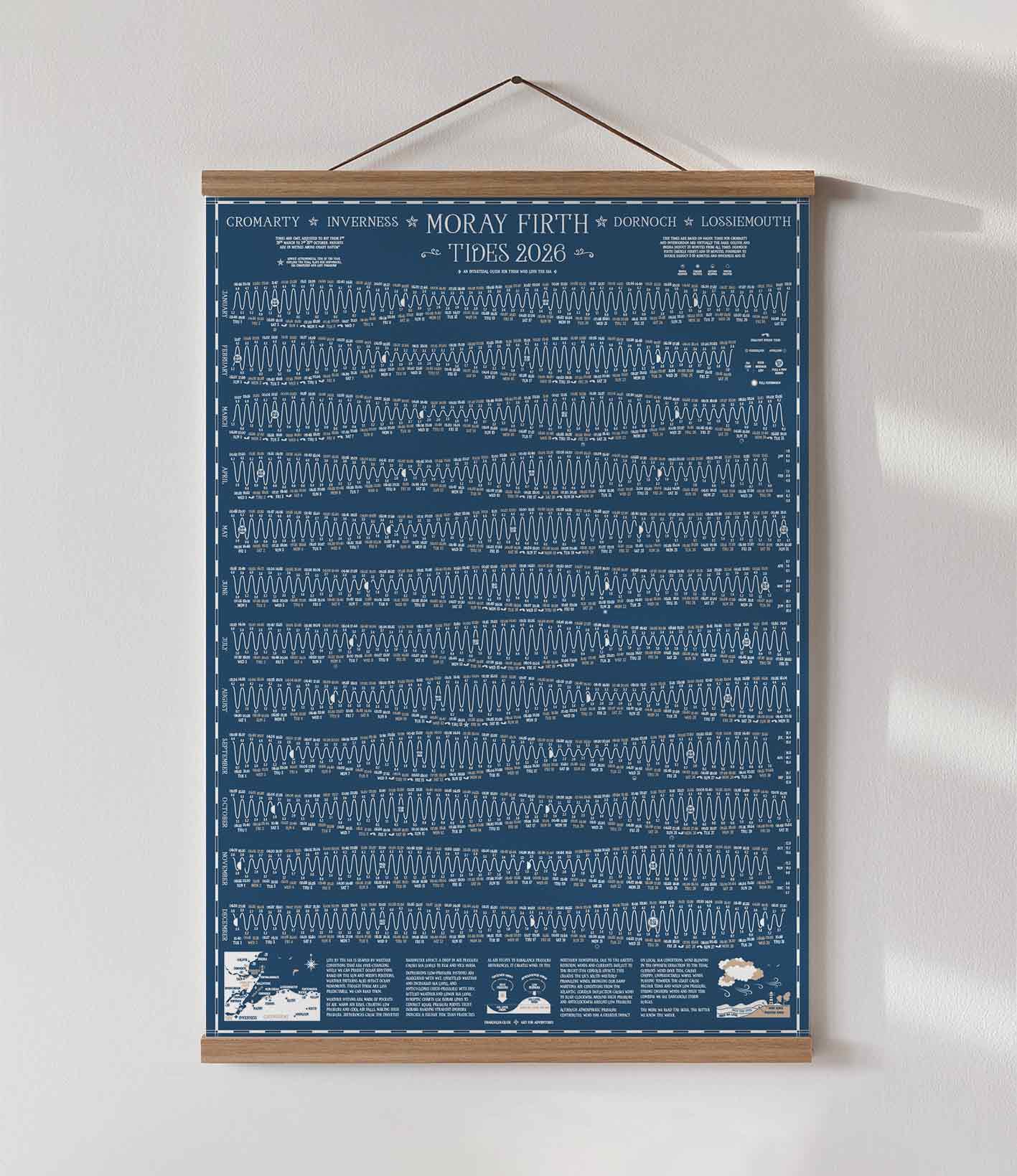
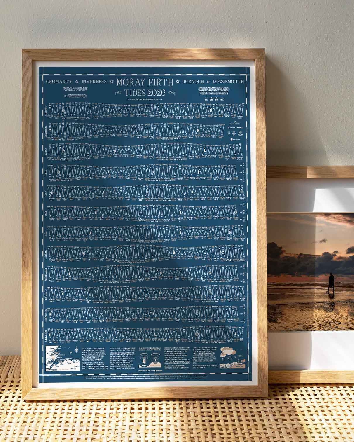
Unique tide times hydrographical charts for the Moray Firth coastline.
A full year of tide times and heights with a wealth of local tidal, moon and ocean information and in 2026 a guide to coastal weather. Life by the sea is shaped by weather conditions that are ever changing, the more we read the skies, the better we know the water.
Available in classic Nautical Blue and new limited edition Grey-Green.
This chart can be used for all locations around the Moray Firth coastline between Brora and Portknockie. Times and heights are based on Nairn, times for the Moray Firth, Cromarty Firth and Dornoch Firth virtually the same. Other locations vary as below: Brora deduct 20 minutes, Inverness add 15 minutes.
I also make charts for lots of other locations around the UK coastline.
Lithograph Print on Munken Pure Rough Stucco paper 150 gsm. B2 standard framing size, 50cm wide x 70cm high. Fits perfectly into this vintage school style wooden poster hanger sold separately.
Tide Times Hydrographical Chart for Moray Firth, Inverness, Nairn, Brora, Cromarty, Dornoch, Lossiemouth
| Weight | .225 kg |
|---|---|
| Colour | Nautical Blue, Grey-Green |
Only logged in customers who have purchased this product may leave a review.


Reviews
There are no reviews yet.